Tundra Communities Trail in Rocky Mountain National Park

'Gloria Wadzinski'
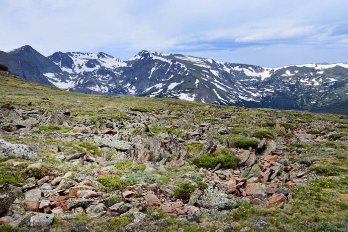
Tundra Communities is rated as a short, family-friendly trail but don’t think it’s an easy walk in the park. Near the top of Trail Ridge Road at Rock Cut, the trailhead sits at 12,110 feet in elevation. Park visitors that live in elevations closer to sea level may find it a good idea to take it slow and steady because oxygen levels are lower here.
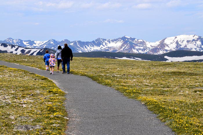
From the trailhead, leisurely walk up the first quarter mile of steep trail, stopping at interpretive signs along the way.
On the way, you’ll see lots of… tundra. This tree-less land is tumbled with lichen-covered rock shards and a crust of low-growing greenery and wildflowers. Being unsheltered from the cold and wind, you might assume that the ground can take a trampling from your hiking boots, but you’d be wrong. Alpine tundra is actually a fragile ecosystem. Hikers should stick to the paved trail and practice Leave No Trace principles.
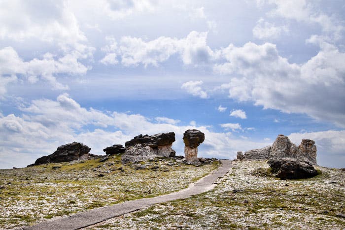
At the trail’s mid-point, opt to take the short spur trail to some odd-looking toadstool rock formations. Enjoy the view and take a selfie, but don’t touch. These too are fragile and park rangers often hang here to enforce the no-climbing rule.
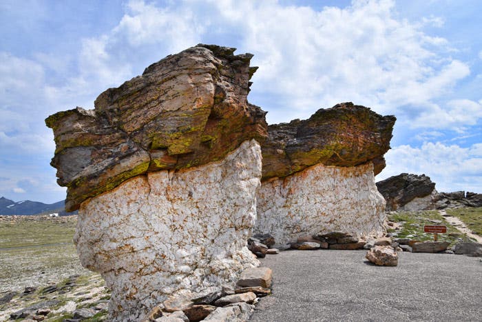
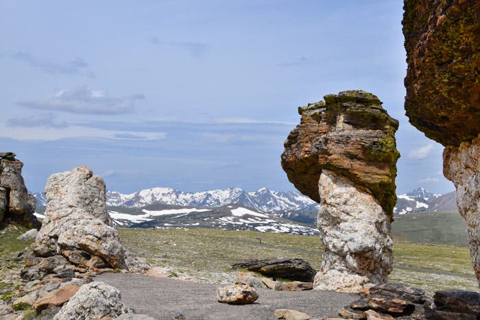
Head back to the main trail and continue on for another quarter mile. At the end of the trail, you’ll get your chance to climb. Two massive mounds of rocks sit next to each other with a view of Longs Peak through the narrow passageway between them.
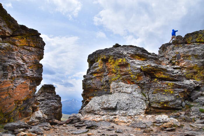
On your climb up the right side mound, stop to read a memorial plaque for Roger Toll, a former Rocky Mountain National Park superintendent from 1921 to 1929. (Pictured above beneath the climber.) Toll was an avid mountain climber and wrote the book, Mountaineering in the Rocky Mountain National Park.
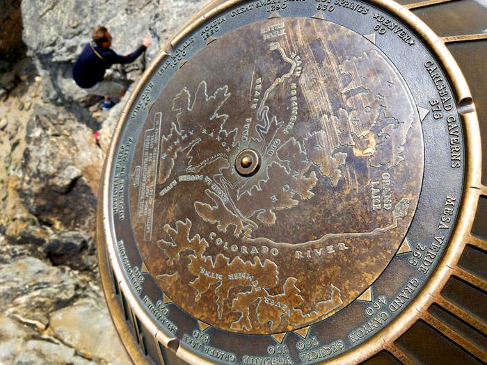
Make it to the top to view the geographical marker that helps you identify the views and inspires you to visit more national parks. After you’re done exploring, head back to the trailhead with views of the Rocky Mountains all the way back.

Download an official Rocky Mountain National Park map for basic road and attraction locations. Want a detailed topographical map of trails in the park? Buy the National Geographic Trails Illustrated Map for Rocky Mountain National Park at REI.com. The map includes trails, trailheads, points of interest, campgrounds, lakes and much more. Or get the Trails Illustrated Rocky Mountain National Park Day Hikes map with 16 detail maps, trail mileages and difficulty ratings. Both maps are printed on waterproof, tear-resistant material.
If you buy from shopping links on this website, National Park Trips may receive an affiliate commission.