Top Trailheads in Rocky Mountain National Park

'Jeff Stephenson'
East Side Trailheads

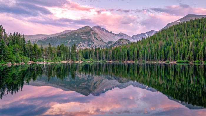
Bear Lake
Probably the busiest in the park, this trailhead at the end of Bear Lake Road has easy hikes with classic high-mountain views. The Bear Lake Trail is a partly paved .6-mile loop; slightly farther are Nymph, Dream, and Emerald Lakes. For more ambitious hikers, the 2,800-foot climb up Flattop Mountain (4.4 miles round-trip) yields outstanding panoramas. A small parking lot and heavy traffic make the shuttle bus a wise option.
Glacier Gorge
Just downhill on Bear Lake Road from the Bear Lake trailhead, this small parking area provides access to trails that lead to Alberta Falls, various backcountry campsites, and an alternate route to Longs Peak.
Fern Lake
From this trailhead west of the Moraine Park Campground, you can hike a gradual uphill route through pleasant forest to a handful of increasingly pretty lakes (Fern, Spruce, and Odessa) and backcountry campsites.
Horseshoe Park
Just past the Fall River entrance, the trails in the Sheep Lakes and Horseshoe Park area are the best places in RMNP to spot bighorn sheep. The nearby Alluvial Fan is a dramatic sight; 30 years ago, the Lawn Lake dam failed, releasing a 30-foot-high wall of water down the Roaring River that carried trees, sand, and boulders to the valley floor.
Longs Peak
For more information on this trailhead and camping area visit our Longs Peak page.

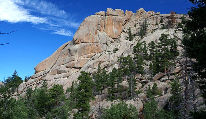
Lumpy Ridge
Located east of the Fall River entrance on US 34, this trailhead gets used mostly by rock climbers heading for the cliffs that form this striking ridge.
Wild Basin
Farther south past Longs Peak on CO 7, this trailhead features moderate paths that eventually climb to a half-dozen pristine alpine lakes. Foot traffic thins considerably after 4-5 miles, making the lakes a popular backpacking location for visitors who don’t want to fight Estes traffic.
West Side Trailheads

Colorado River
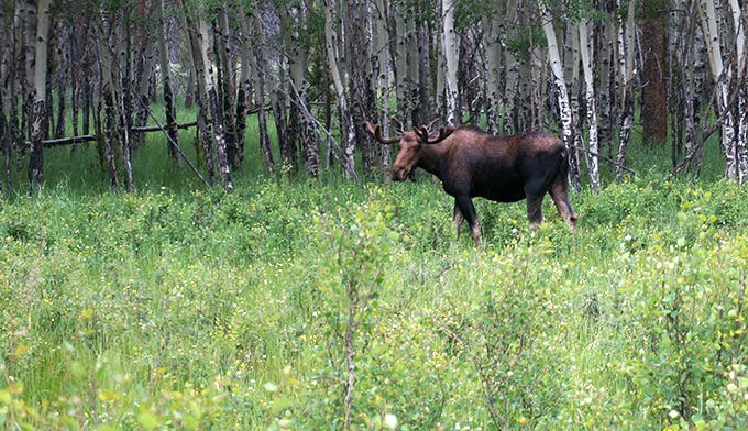
Numerous options present themselves here. Head north to visit Lulu CIty, a deserted mining village; go beyond that into the Little Yellowstone gorge; and hike even farther into rarely visited terrain where the river itself is born in rugged, remote country beneath the peaks of the Continental Divide. Or head west into moose-frequented meadows where the river meanders. The trail parallels US 34 if you head south.
These trailheads on Grand Lake lead to waterfalls and (if you have a day) pretty lakes. Fishing is good here, and moose are sometimes spotted.

Download an official Rocky Mountain National Park map for basic road and attraction locations. Want a detailed topographical map of trails in the park? Buy the National Geographic Trails Illustrated Map for Rocky Mountain National Park at REI.com. The map includes trails, trailheads, points of interest, campgrounds, lakes and much more. Or get the Trails Illustrated Rocky Mountain National Park Day Hikes map with 16 detail maps, trail mileages and difficulty ratings. Both maps are printed on waterproof, tear-resistant material.
If you buy from shopping links on this website, National Park Trips may receive an affiliate commission.