Mountains inside Rocky Mountain National Park

'Ali Pfenninger'
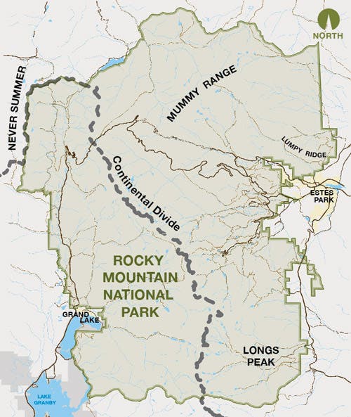
When exploring Rocky Mountain National Park it’s hard not to be impressed. Mountains tower over verdant meadows spotted with elk and drenched in seasonal wildflowers. Streams pour out of deep jagged ravines, gaining momentum as they drop in elevation cascading over boulders and slowing down as they snake through wide flat valleys. We’ve mapped out a few of the best Rocky Mountain views and how exactly you can see them.
Longs Peak

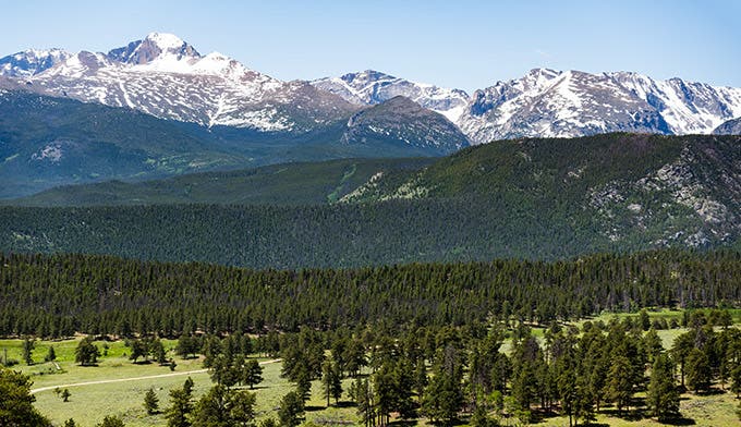
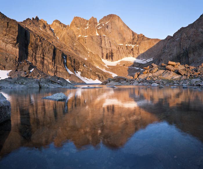
Rocky Mountain National Park is littered with towering peaks, but the most famous one is Longs Peak. Dominating the Park’s southeastern skyline, Longs at 14,259 feet in elevation can be seen as far away as Denver and from the summit of Pikes Peak by Colorado Springs.
See it: Some of the best places to view Longs are from the summit of Twin Sisters and Chasm Lake just below Longs dramatic east face. Or see the entire range from Trail Ridge Road. We recommend Deer Ridge Junction and Hidden Valley.
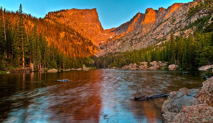
Other defining peaks include, Hallett Peak, Flattop Mountain (both in their glory at Dream Lake. Take the trail from Bear Lake.), and Mount Meeker (See it towering over the Chapel on the Rocks on the east side).
Never Summer Mountains
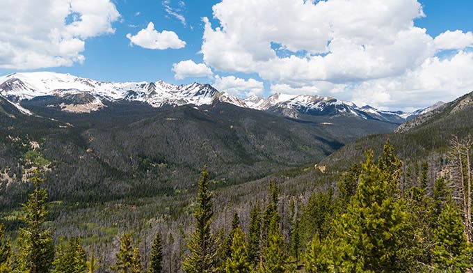
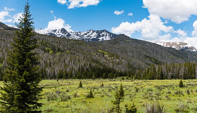
Bordering the western edge of Rocky Mountain National Park, the Never Summer Mountains were formed by violent volcanic activity more than 20 million years ago. This western border runs in sync with the Continental Divide, which never dips below 10,000 feet.
Nine peaks over 12,000 feet are in the mountain range, and due to the harsh winter storms the mountains got the literal name of Never Summer. Winds sometimes get to 175 miles per hour, and at this high elevation, it’s chilly year-round.
See it: Stop at Beaver Ponds or Fairview Curve Overlook on Trail Ridge Road. You can also snap a photo looking west from the Alpine Visitor Center.
Recreation typically includes backpackers and hikers during summer months and backcountry skiers and snowshoers during winter. A few huts are also available for winter alpine camping.
The Mummy Range
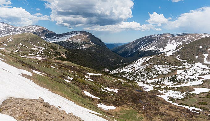

Officially a subset of The Front Range, these mountains make up the northeastern corner of Rocky Mountain National Park. The range is located largely within the park, extending north from Trail Ridge Road for 15 miles.
Prominent peaks in the range include Hagues Peak, Ypsilon Mountain, Mummy Mountain, and Mount Chiquita.
According to many the range got it’s name due to the fact that from the right angle it appears as if a mummy is lying on it’s back.
Since few official trails wind through this region it is not uncommon for hikers and backpackers to head off trail and follow one of the range’s many spines to craggy summits and sweeping views. One of the best trails to access the Mummy’s extensive wilderness is Lawn Lake Trail leading up to Lawn Lake and a several backcountry campsite. From there an established trail continue cutting northwest, while some attempt to summit Mummy Mountain (13,425 feet).
See it: For unobstructed views of the Mummy Range head up Trail Ridge Road and stop at Many Parks Curve. The view looks out over the parks northeast corner and the Mummy’s can be seen standing tall and strong. Great photos can be also be captured looking northeast from the Alpine Visitors Center or looking west from Estes Park.
Video by Gunnar Sikorski