Published July 28, 2021 12:10PM
Semi-Rad’s Favorite Hikes in Rocky Mountain National Park
Get to know a park aficionado Brendan Leonard’s top hikes in Colorado’s most popular park.
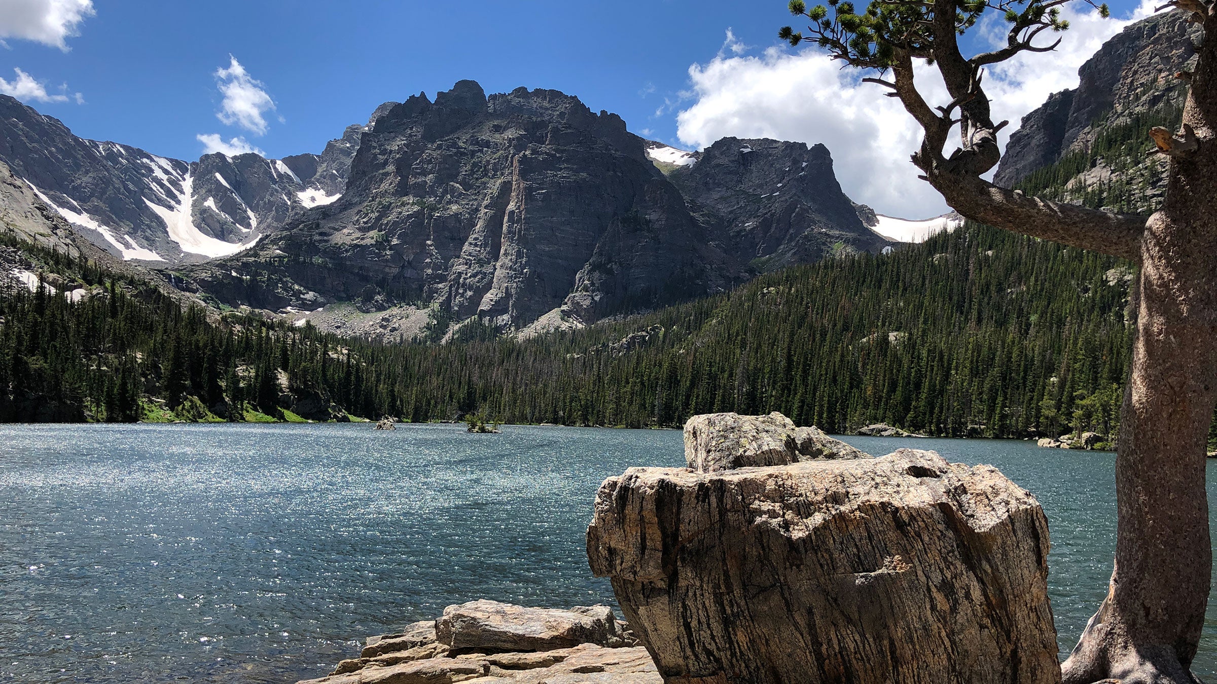
Chasm Lake in Rocky Mountain National Park (Photo: Semi Rad Brendan Leonard)
Brendan Leonard, creator of the popular website semi-rad.com, is an author, illustrator and all-around exceptional outdoorsman. He recently wrote Hike the Parks: Rocky Mountain National Park, a guidebook to 35 of the park’s best hiking trails.
While some of his adventures like running 52 marathons in a year might have most of our heads spinning, his forté is making the outdoors feel approachable to all through his humorous essays, illustrations and charts chronicling his thoughts and adventures. From outlining all the things in Yellowstone that could kill you (semi-rad.com/2019/07/things-in-yellowstone-that-can-fking-kill-you/), to a flow chart posturizing that as long as you didn’t die, it was a good adventure (semi-rad.com/product/did-you-have-a-good-adventure-poster-2/), Leonard’s Sharpie-style illustrations will remind you not to take life outside too seriously.
Leonard’s first trip to Rocky Mountain National Park was as a kid in 1986. Since then, he’s spent countless days hiking and climbing in the park. The now Montana-resident lived in Denver, Colo., for 15 years, making Rocky Mountain National Park an easily accessible playground.
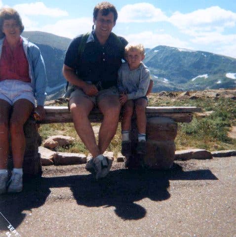
“I have so many great memories in Rocky Mountain from seeing Trail Ridge Road with my parents as a kid to getting caught in a thunderstorm with my wife on one of our first dates at Mills Lake to taking an avalanche class up there,” says Leonard.
ADVERTISEMENT
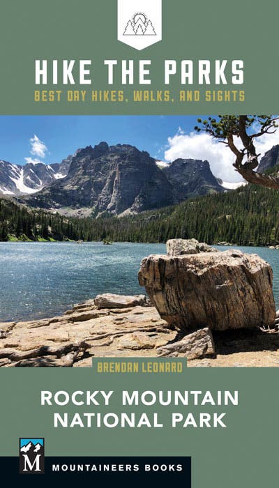
He was the perfect choice to pen Mountaineers Books’ Rocky Mountain National Park volume of Hike the Parks guidebook series, sharing with travelers the best hikes in our national parks. Hike the Parks: Rocky Mountain National Park (www.mountaineers.org/books/books/hike-the-parks-rocky-mountain-national-park-best-day-hikes-walks-and-sights) covers everything from family-friendly and ADA-accessible strolls to the park’s tallest mountain, Longs Peak with detailed descriptions, sample itineraries and interesting facts alongside beautiful photos. You can purchase it anywhere books are sold.
Leonard spent 10 days in the park in 2019 hiking every single trail this guidebook covers—35 in all. Some days he hiked as many as 27 miles to revisit his favorite trails and capture them on his iPhone for the book.
Leonard shared five of his favorite hikes in the park with us ranging from popular Sprague Lake to the lesser-known Tombstone Ridge and Twin Sisters Peaks. Be sure to check out our page on Rocky Mountain National Park’s timed-entry system to figure out when and if you need a reservation.
Mills Lake
Distance: 5.6 miles
Elevation Gain: 780 feet
Difficulty: Medium
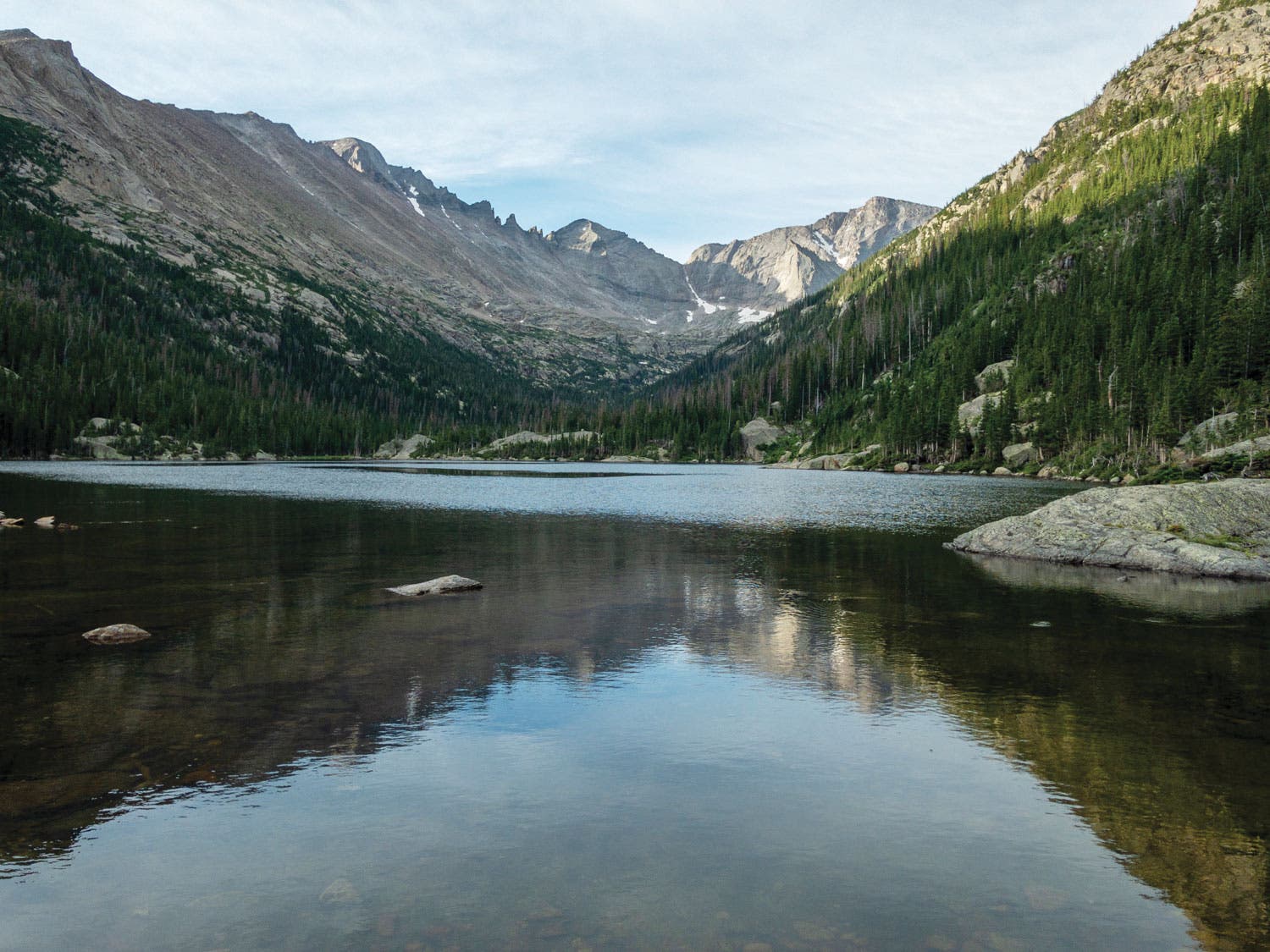
Park at the Glacier Gorge Trailhead located along the Bear Lake Road corridor or take the Bear Lake Route shuttle to access Mills Lake. As you hike through a conifer forest dotted with aspens, you’ll pass the three-story Alberta Falls, finding more solitude on the trail as the crowds thin. When you reach Mills Lake, you’ll be treated to views of Longs Peak, Keyboard of the Winds, Pagoda Mountain, Chiefs Head Peak and Spearhead.
ADVERTISEMENT
Brendan’s Tip: “There’s a small rock peninsula at the north end of Mills Lake. If you’re lucky to find it unoccupied, it feels like you’re sitting in the middle of an alpine lake. It’s a great place to enjoy your lunch or coffee.”
Sprague Lake
Distance: 0.8 mile
Elevation Gain: Negligible
Difficulty: Easy
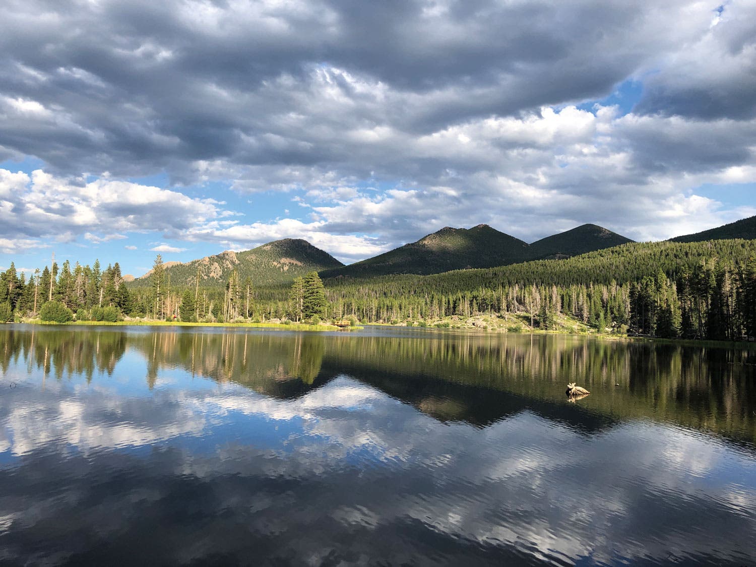
Park at the end of Sprague Lake Road which can be accessed off of Bear Lake Road or ride the Moraine Park Route shuttle. Take the ADA accessible trail around the lake to see wildflowers, watch the sunrise or try your hand at fishing for the lake’s brook and rainbow trout with a fishing license.
Brendan’s Fun Fact: “Sprague Lake was named after Abner Sprague who was the first person to pay an entrance fee to Rocky Mountain National Park in 1939. He homesteaded in Moraine Park.”
ADVERTISEMENT
Chasm Lake
Distance: 8.6 miles
Elevation Gain: 2500 feet
Difficulty: Hard
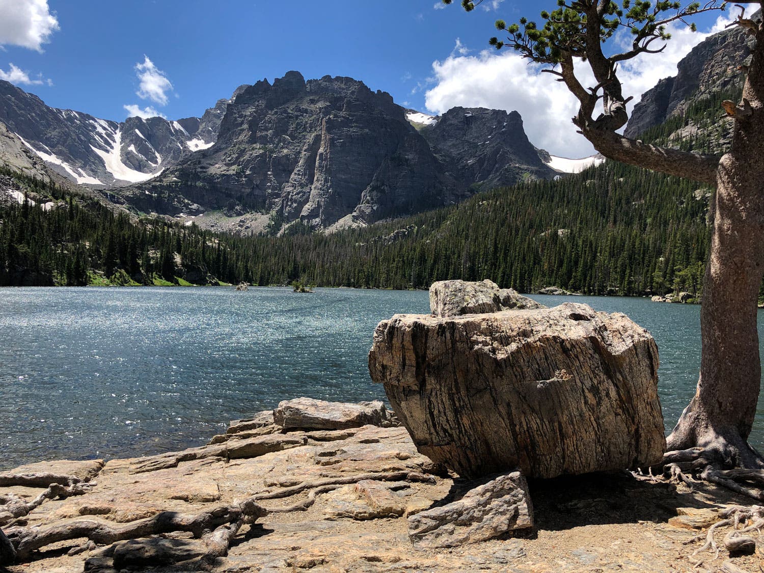
Arrive early to begin this hike off of CO 7 on Longs Peak Road as parking fills up quickly and you’ll want to beat afternoon storms. The trail climbs through a forest for the first 2.3 miles before popping out above tree line where you’ll get your first views of Longs Peak. A gorgeous waterfall, stunning wildflowers and plenty of marmots await as you climb up this picturesque alpine lake under Longs Peak’s 1,000-foot wall called the Diamond.
ADVERTISEMENT
Brendan’s Fun Fact: “The toilet structure at Chasm Junction and the toilets at the Boulderfield were both built by University of Colorado at Denver students to withstand winds of up to 225 mph and won an American Institute of Architects award in 2019.”
Tombstone Ridge via Ute Trail
Distance: 3.4 miles
Elevation Gain: 1,000 feet
Difficulty: Medium
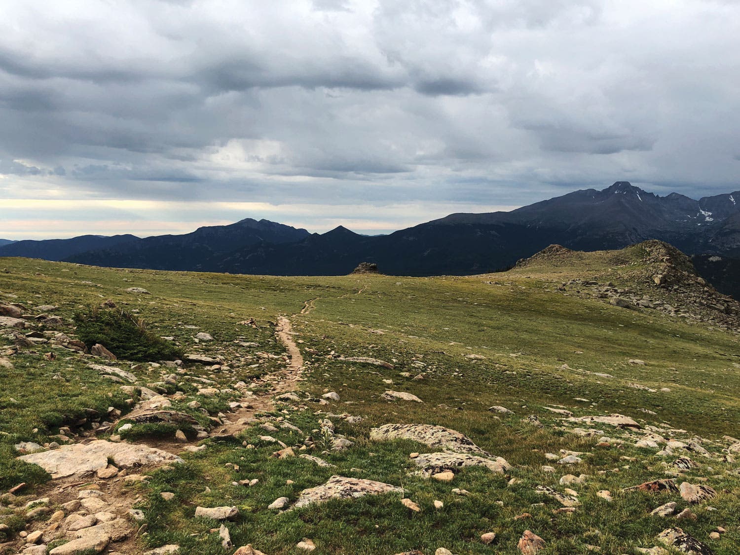
Located along Trail Ridge Road, keep an eye out for the unmarked Ute Trailhead on the south side of the road. Park in one of several parallel parking spots along the road. This trail’s a great one to find solitude at and is perfect for a build your own adventure as there’s not a dedicated place to turn around. Stroll for as long as you like to take in the views, but Brendan suggests turning around at the 1.7 mile mark to avoid a major uphill hike. Be sure to start early in the day as the entire hike is around above timberline and thunderstorms are a risk most days in the summer.
Brendan’s Favorite Après Spot: Kind Coffee; 470 Elkhorn Ave., Estes Park. Stop in for a coffee and a breakfast burrito after an early morning hike.
ADVERTISEMENT
Twin Sisters Peaks
Distance: 7.2 miles
Elevation gain: 2,350 feet
Difficulty: Hard
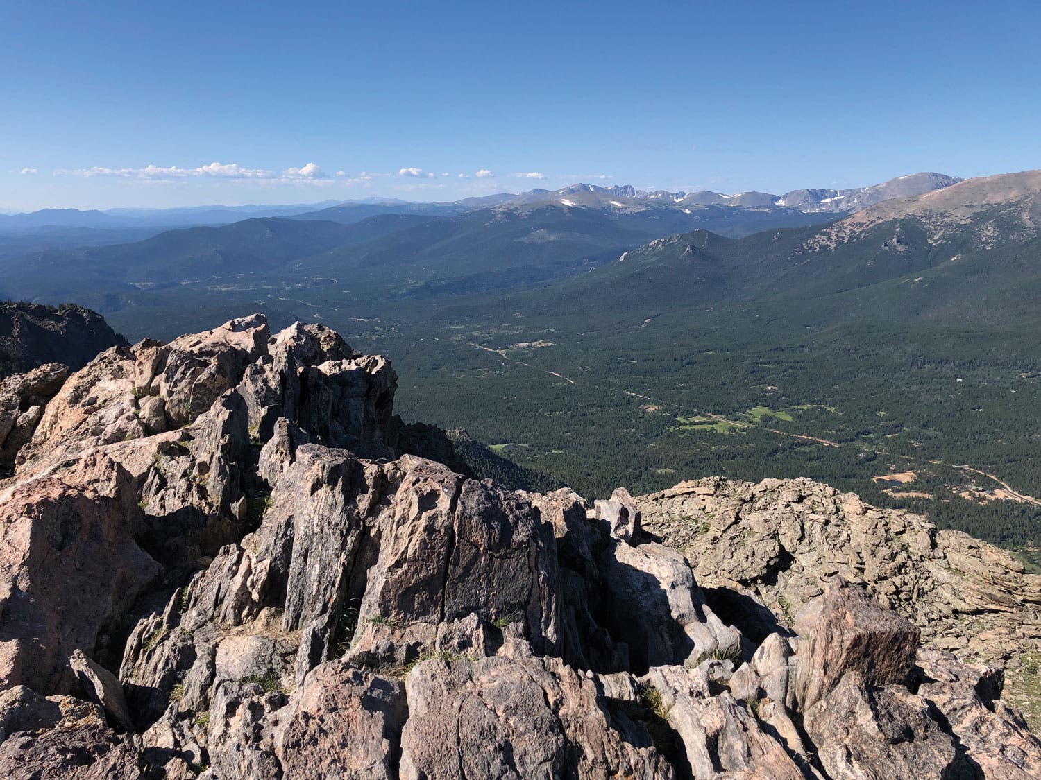
Located off CO 7 on Serenity Lane, this trailhead will bring you to the summit of Twin Sisters Peaks, a relentlessly steep climb that’s well worth it for the 360-degree views. The trail starts in an evergreen forest and ends in a talus climb. The trail leads to the west summit with the best photo opportunities, but the east summit is actually higher by 25 feet at 11,428 feet. Beware of afternoon thunderstorms and try to avoid being above tree line in the afternoon.
ADVERTISEMENT
Brendan’s Tip: “My favorite trail snack is a burrito from the frozen section at the grocery store. Let it thaw in your pack as you hike. When you get to your destination and everyone else is eating Clif Bars, whip out a burrito, and you’ll be a hit. That or leftover pizza.”