Published January 24, 2023 04:45PM
Hike Through a Forest to Mosca Pass at Great Sand Dunes National Park
Escape the summer heat on this shady trail overlooking the giant dunes in southeast Colorado.
View of the Dunes from Montville Trail on the way to Mosca Pass (Photo: NPS/Patrick Myers)
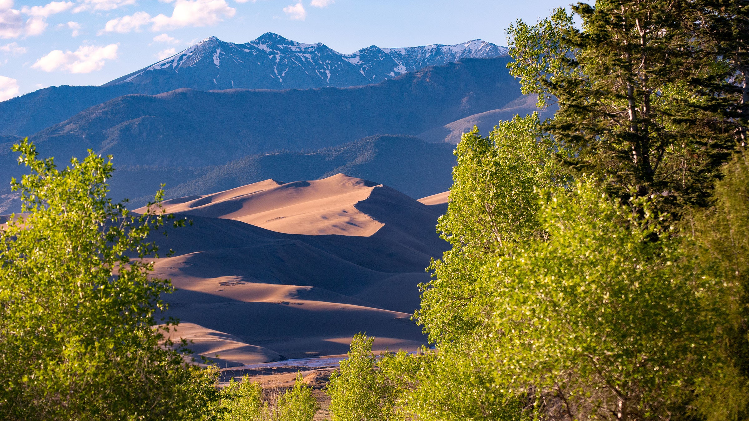
While the towering sand dunes are the primary draw of Great Sand Dunes National Park & Preserve, it’s not the only thing this beautiful corner of Colorado has to offer. The Mosca Pass Trail winds through shady forests filled with aspens, pine, fir and spruce and follows Mosca Creek. A perfect respite from hot summer days, this trail goes through the 1800s community of Montville and provides gorgeous views of the sand dunes and San Luis Valley on the return hike.
How Long is the Mosca Pass Trail?
The Mosca Pass Trail is 7.5 miles roundtrip from the trailhead, or 7.9 miles roundtrip from the Visitor Center. The trail gains 1,700 feet in elevation, making it a moderately rated hike that’s great for active families and adults.
If there’s space in the small lot at the Mosca Pass Trailhead, park there. Otherwise, you can park at the larger lot at the Visitor Center and find the path on the north end of the parking lot. The path crosses Hwy. 150 and meets up with the main trailhead just up the road.
ADVERTISEMENT
The first quarter mile from the trailhead is the Montville Nature Trail. Pick up a booklet at the trailhead that has numbered stops to learn more about the history of this 1800s settlement. At its peak, the community was comprised of 20 houses. You’ll quickly come to a stunning viewpoint where you can see out over the San Luis Valley with the sand dunes at the foreground.
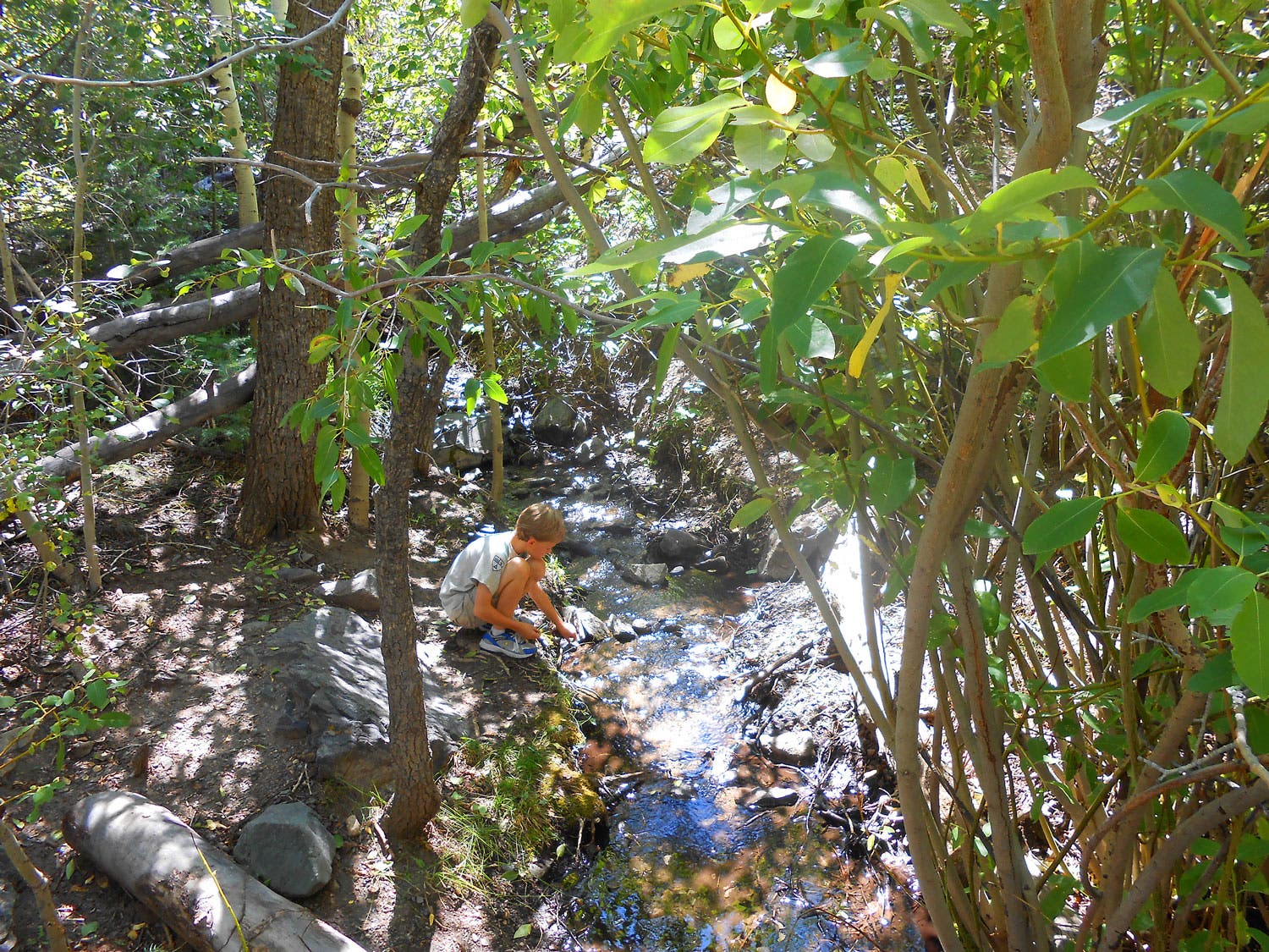
From here, the trail follows Mosca Creek and climbs steadily through a shady forest. Around two miles in, the terrain starts to open up and you’ll get views of wide-open meadows. The trail leaves the national park and continues through the Great Sand Dunes Preserve in the Sangre de Cristo Wilderness. The trail ends at County Road 583. You can turn left and follow the four-wheel drive road to the true summit of the pass, or turn around here to stick to singletrack. If you turn around when you hit the county road, it will shorten your hike by 1.4 miles. Bring a picnic to enjoy before turning around and soaking in the views of the dunes and valley on your way back down.
Can you Drive Over Mosca Pass?
You cannot drive up the Mosca Pass Trail, but you can access the pass with a four-wheel drive vehicle via County Road 583. This rough route is accessed from the west side of the Sangre de Cristo mountains, near Gardner.
ADVERTISEMENT
You can’t access Great Sand Dunes National Park by car from Mosca Pass without driving several hours south. If you want to visit both the national park and Mosca Pass, the best way to do so is by hiking.
What’s the Best Time of Year to Hike Mosca Pass?
Mosca Pass is beautiful late spring through fall, but autumn is one of the best seasons to hike it thanks to an abundance of aspens that turn a vibrant yellow in the fall. Temperatures are also cooler in the autumn months.
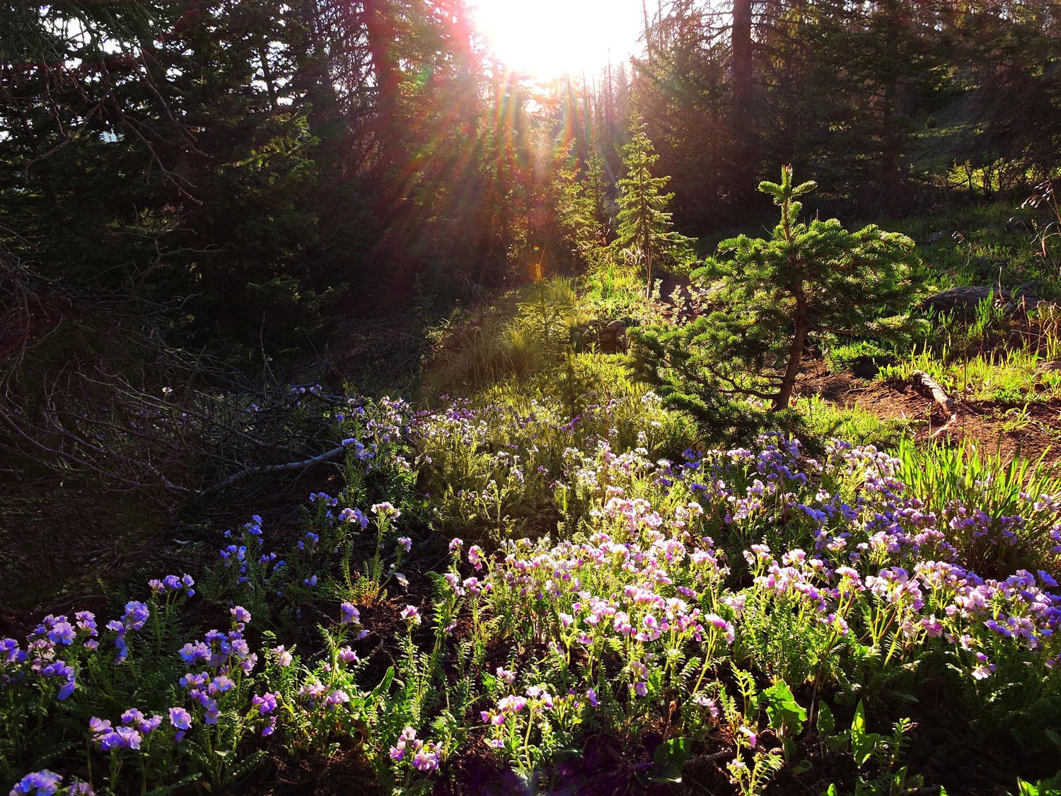
Summer is also a great season to hike this trail as you’ll encounter tons of wildflowers from Indian paintbrush to columbines.
Summer is also a great season to hike this trail as you’ll encounter tons of wildflowers from Indian paintbrush to columbines.
What Should I Pack to Hike Mosca Pass?
It’s important to pack plenty of water for the hike up to the top of Mosca Pass. The pass sits at 9,700 feet in elevation, making hydrating especially important to ward off symptoms of altitude sickness. Plan to bring at least two liters of water per person.
Weather can change quickly in the summer months in Colorado. Pack a wind and waterproof layer in case the temperature drops suddenly, or you encounter rain.
Many people find trekking poles helpful to navigate the steep sections of this trail.