Published May 4, 2009 11:01PM
Historic Trails in Colorado
'David Fulmer'
Ever wondered what it would be like to experience history? Then you’re in luck. Three national historic trails pass through Colorado and, though not marked by a golden yellow brick road, they are marked and historical monuments are along the way so you’ll be able to follow the historical route yourself.
Pony Express National Historic Trail
On the northeastern edge of Colorado the Pony Express National Historic Trail cuts through the upper most corner of the state. Stretching from Missouri to California, the trail was used by a talented group of young riders who could deliver mail across the west in less than ten days. Trying to explain this phenomenon to little kids today typically results in questions about iPhones, email, and that smart looking guy who draws on whiteboards in brown ink. Most kids just can’t comprehend how hard it used to be when sending a letter. To visit the trail-just a short 16 miles cut through Colorado-head to U.S. Route 138 west through Julesburg and merge onto U.S. Route 385 towards Nebraska. Once you cross the border congratulations you’re officially done with the Colorado portion. Little kids might not be impressed so why not have them walk the 16 miles to find out just how far it really is? (We kid of course… kinda).
Old Spanish Trail
Adjacent to the Pony Express Trail, the Old Spanish Trail cuts through the southwestern tip of Colorado leading to the Pacific Ocean at the base of California. The trail is technically a historic trade route set up by the Spanish to move goods from New Mexico to where Los Angeles is today. The trail extends approximately 1,200 miles and enters Colorado just south of Pagosa Junction cutting upward at roughly a 20-degree slope. Major towns along the trial include Oxford, Dolores, and Durango. The terrain is usually the dramatic San Juan Mountain Range providing expansive views but harsh winter weather.
Santa Fe Trail
The third and final National Historic Trail was a popular transportation and trade route from Missouri to Santa Fe, New Mexico. Though the trail has several routes, one in particular known as The Mountain Route enters Colorado through Kansas before dipping down into New Mexico. To experience the trail and check out the Santa Fe Trail Museum head down to Trinidad about 3 hours south of Denver along I-25. There you can check out interpretive exhibits featuring tools, clothes, and old artifacts that were used during the Santa Fe Trail’s heyday. In many places highways parallel the trail enabling you to drive the route if desired.
ADVERTISEMENT
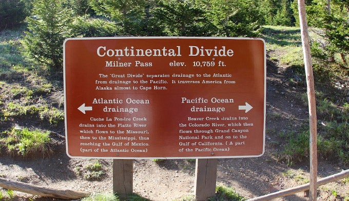
Continental Divide Trail (CDT)
Then there is the granddaddy of long trails in the United States. The Continental Divide Trail (CDT) follows the spine of the Continental Divide from Canada to Mexico. The trial runs 3,100 miles and in parts has yet to be completed. There are no official maps for the entire trail but last year Backpacker Magazine sent several teams from across the United States to map sections of the trail and report back with GPS-data. One of the most requested states was Colorado and it’s no surprise. The CDT passes over countless passes, through wide-open tundra, and along the spine of some of Colorado’s most impressive mountain ranges. Some of our favorite sections include the Vasquez Wilderness close to Denver, San Juan Mountains for amazing scenery, and Buffalo Creek near Deckers, which is perfect for little kids and car camping.